Cutting-Edge Technology
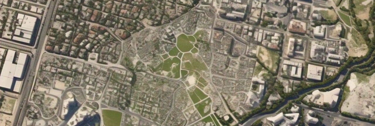
Stay ahead with the latest AI-driven algorithms for satellite imagery.
Scalability
Handle projects of any size with flexible cloud-based processing.
Efficiency
Save time with automated analysis and real-time processing.
iTSensing Cloud Remote Sensing
Technical Spesification
1. AI-Powered Algorithms
Access the latest artificial intelligence algorithms for advanced satellite image analysis. Automate complex tasks such as object detection, land cover classification, and change detection.
2. Cloud-Based Processing
Perform data analysis without the need for high-performance local hardware. Scale effortlessly to accommodate large datasets and multi-user workflows.
3. Real-Time Analysis
Process and analyze satellite imagery in real-time for timely decision-making. Monitor dynamic changes with up-to-date satellite data integration.
4. Multi-Satellite Support
Compatible with various satellite imagery sources, including Sentinel, Landsat, and commercial satellites. Integrate multiple data formats for comprehensive analysis.
5. Customizable Analytical Models
Leverage pre-built analytical models or create your own tailored to specific projects. Adapt the platform to meet unique requirements across industries.
Who need us
Green & Smart Industries
Environmental Monitoring
Track deforestation, water quality, and biodiversity changes. Assess the impact of climate change with high-resolution analysis.
Agriculture
Analyze crop health, detect pests, and optimize irrigation with NDVI and other vegetation indices. Monitor large-scale farming operations with precision.
Urban Planning
Conduct land use and land cover analysis for sustainable development. Identify urban sprawl and infrastructure growth trends.
Disaster Management
Map disaster-affected areas for rescue and recovery operations. Monitor flood zones, wildfires, and other natural hazards in real time.
Mining and Resource Management
Assess mineral resources and monitor mining activities. Detect unauthorized land use and environmental impacts.


