Exploring Satellite Embeddings in Google Earth Engine
Remote sensing has traditionally focused on analyzing spectral values—how light interacts with the Earth’s surface. But with the rise of machine learning and artificial intelligence, a new approach is emerging: satellite embeddings.
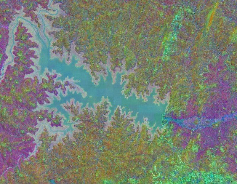
Using platforms like Google Earth Engine (GEE), researchers can now go beyond raw pixel values and extract deeper, more meaningful representations of satellite imagery.
What Are Satellite Embeddings?
Satellite embeddings are numerical representations of images generated by machine learning models. Instead of working directly with raw spectral bands, embeddings summarize complex patterns—such as texture, shape, and spatial relationships—into compact vectors.
In simple terms:
- Traditional remote sensing → works with pixel values
- Embeddings → work with “learned features” from images
These features capture more abstract information, making them powerful for tasks like classification and pattern recognition (Zhu et al., 2017; Ma et al., 2019).
How Does This Relate to Remote Sensing?
In traditional workflows, analysts rely on multispectral bands from satellites like Landsat or Sentinel. While effective, this approach can struggle with:
- Complex land patterns
- Mixed pixels
- Subtle differences between classes
Satellite embeddings enhance this by:
- Capturing spatial context
- Learning patterns automatically
- Reducing reliance on manual feature engineering
This represents a shift from physics-based analysis to data-driven understanding in remote sensing.
Using Embeddings in Google Earth Engine
Google Earth Engine supports advanced geospatial analysis and can be integrated with machine learning workflows.
In practice, embedding workflows in GEE often involve:
- Accessing satellite imagery (e.g., Sentinel-2)
- Exporting data or connecting to ML models
- Generating embeddings using pre-trained models
- Re-importing results for analysis or classification
Although GEE itself is not a deep learning framework, it acts as a powerful data engine that feeds machine learning pipelines.
Why Are Satellite Embeddings Powerful?
Satellite embeddings offer several advantages:
- Better classification accuracy
Models can distinguish complex land cover types more effectively - Reduced data complexity
High-dimensional imagery is compressed into manageable representations - Transfer learning
Pre-trained models can be reused across different regions - Automation
Less need for manual feature design
This is especially useful in large-scale applications like global land cover mapping or environmental monitoring.
Applications in Remote Sensing
Satellite embeddings are increasingly used in:
- Land Use and Land Cover (LULC) classification
- Urban structure analysis
- Deforestation detection
- Disaster impact assessment
By combining embeddings with time-series data in GEE, researchers can detect not only what is on the الأرض, but also how it changes over time.
Challenges and Limitations
Despite their potential, satellite embeddings come with challenges:
- Require machine learning expertise
- Computationally intensive (outside GEE)
- Limited direct support inside GEE
- Interpretation can be less intuitive
However, as tools evolve, these barriers are gradually decreasing.
Conclusion
Satellite embeddings represent a major shift in remote sensing—from analyzing raw spectral data to leveraging machine learning-driven insights. When combined with platforms like Google Earth Engine, they open new possibilities for large-scale, intelligent Earth observation.
For students and researchers, learning this approach means stepping into the future of geospatial analysis—where remote sensing meets artificial intelligence.
References
- Zhu, X.X. et al. (2017). Deep learning in remote sensing
- Ma, L. et al. (2019). Deep learning for hyperspectral image classification
- Jensen, J.R. (2007). Remote Sensing of the Environment
- Lillesand, T., Kiefer, R.W., & Chipman, J. (2015). Remote Sensing and Image Interpretation
- Reichstein, M. et al. (2019). Deep learning and Earth system science


")


Leave a Reply
Want to join the discussion?Feel free to contribute!