Layover and Radar Shadow: Mapping Where SAR Cannot Support a Claim
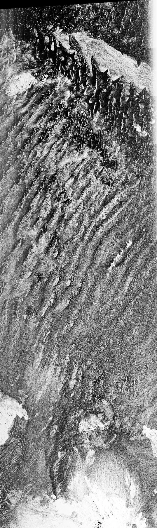
Layover mixes returns when elevated targets arrive earlier than lower ground, while radar shadow receives no direct illumination from the viewing geometry.
THE ITSENSING JOURNAL
Practical satellite reviews, remote sensing methods and GIS workflows. Explore the science, understand the limits, and take your next project into iT Sensing.

Layover mixes returns when elevated targets arrive earlier than lower ground, while radar shadow receives no direct illumination from the viewing geometry.
Side-looking radar records slant-range geometry, so terrain affects where a return appears and how bright it is.
Speckle arises from coherent scattering and is part of SAR image formation.
Decibels express a logarithmic representation of power: 10 times the base-10 logarithm of the linear quantity.
SAR backscatter measures microwave scattering toward the instrument under a defined geometry.
A reproducible pipeline preserves the inputs, transformations and parameters needed to explain a result.
Pixel spacing describes a grid, while effective spatial resolution and measurement support describe the information captured.
Radiometric saturation occurs when a sensor or encoded product cannot represent a larger signal within its supported range.
A data cube organizes observations along spatial, temporal and often spectral dimensions.
Aerosol scattering can alter optical reflectance and its correction is especially important for dark water and subtle spectral contrasts.
Pan-sharpening combines a finer panchromatic observation with coarser multispectral bands to produce a sharper-looking color product.
Gap filling estimates missing values from neighboring dates, locations or a model.
No matching articles. Try a different search.